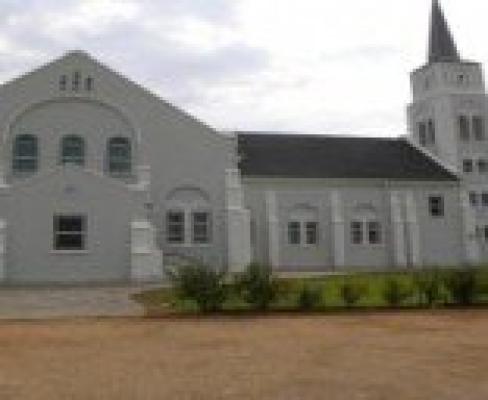
Kakamas was originally build by a church and named after the Khoi word for 'poor pasture'. However, the name today reflects poorly on a fertile valley in the lower Orange River, graced with vineyards, cotton and lucerne fields.
Kakamas offers you an unforgettable combination of the mighty Orange (Gariep) River and the desolate barrenness of the Kalahari.
To some the town's name originates from the Khoi word, "gagamas" (brown), referring to the red clay of the area with which women daub their faces. To most, though, Kakamas is a Koranna word meaning "poor pasture" and "vicious, charging ox". Legend has it that grazing in the vicinity was poor and, when cattle were driven through the river's drifts, some sonsistently turned on their drivers.
Knysna's Dutch Reformed Church minister, BPJ Marchand, sometimes called he "father of Kakamas", played a leading role in saving people from ruin. The river island of Marchand, Zoetap and Neus became a labour colony for the poor. So successful were their farming ventures that full title to the land was granted to them.
In 1930, the church divided and area in central Kakamas into 40 residential plots. This was the beginning of the Kakamas township. Cultivating grapes for raisins began in 1960 and table grapes in 1980. Today the grapes are exported worldwide.
Whether on holiday or for business, Kakamas Accommodation options will definitely satisfy your needs.


