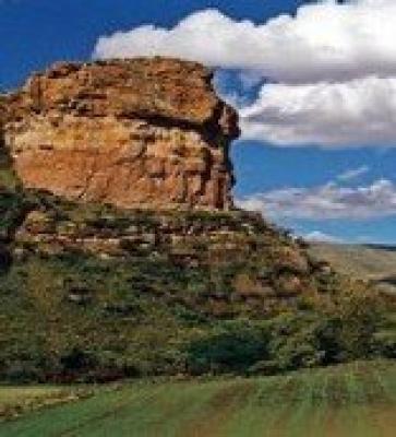
Clarens is known for its spectacular sandstone mountains and wonderful climate, it is one of the most picturesque spots in the country and has recently been acclaimed as the best Trout Fishing waters in South Africa
Clarens is part of the scenic Highlands Route and is surrounded by mountainous splendour. The Rooiberge is the range encompassing the village, whilst further on towards the southeast, the mighty Malutis stand proud in shades of purple and blue.
All around are the sandstone cliffs with their multi-coloured layers - this horizontal strata is a unique geological feature of the area, and is known as the Clarens formation. Many homes in the Clarens Valley are made from Clarens Sandstone.
The village has become know as the Jewel of the Free State - rich in beauty, with an aura of peace and tranquillity. The town is known for the many Art and Craft shops which offer the visitor a wide range of curios and original artwork.
The Artist Amble takes you to various artists who have opened their galleries to the public. A walk around President Square will take you to the many arts & crafts shops.
Another feature which adds to the picturesque atmosphere of the village is the many sandstone buildings. The popular Golden Gate National Park is located in the near vicinity of Clarens, and the area
Places of interest include:
* Titanic Rock - overlooking the entrance to Clarens
* Clarens Museum - at the information centre on the square
* The Ash River Outfall is one of the Highlands water schemes view points on the Bethlehem road about 8km from Clarens
* Mushroom Rock - on Clifton Farms about 3km on the Fouriesburg road
* Surrender Hill - a historic Anglo Boer War site about 10km on the Fouriesburg road.
* Golden Gate National Park for walking and bird viewing
* Bushmen paintings on Schaapplaats farm and in Golden Gate

