In 1699, during Governor W.A. van der Stel's travel in South Africa, he looked down on this beautiful valley and named it "Het Land van Waveren" after a well-known estate near Amsterdam belonging to his mother's relatives. The first white settlers of the Dutch East India Company arrived here shortly afterwards and the town of Tulbagh developed.
The village, enclosed on three sides by impressive mountains forming a scenic valley, is strategically placed for day trips to Cape Town, the West Coast and the vast inland areas of the Breede River Valley, the Cedarberg and Bokkeveld.
It is within 60 minutes' drive to towns like Paarl, Stellenbosch, Franschhoek and Worcester.
Mountain passes such as Du Toit's Kloof, Bain's Kloof, Nuwekloof, Mitchell's, Hex River, Rooihoogte, Burger's, Gydo and Theronsberg are within easy reach.
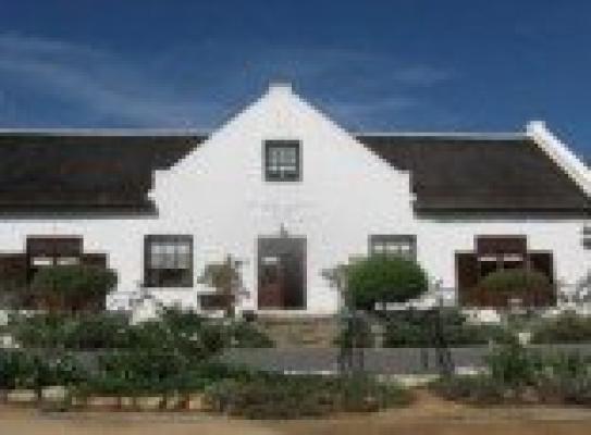
After the earthquake in 1969 every home in Church Street was restored. These 32 buildings were all declared National Monuments and constitute the largest concentration of National Monuments in one street in South Africa.
Tulbagh is well-known for its large variety of veld flowers, of which many are displayed at the annual agricultural show held late in September each year. Various species flower at different times from April to October and can be found in the veld and mountains during a hike or an easy walk.
Wildlife can still be observed by those who are prepared to do some hiking away from the populated areas.
Numerous award-winning wines can be tasted in the cellars where they were developed, the better known being Twee Jonge Gezellen, Tulbagh Winery, Theuniskraal and Drostdyhof.


