Nestling at the foot of the picturesque Langeberg Mountains, Swellendam has much to offer visitors who have an interest in history, nature and outdoor activities.
Situated on the N2, approximately 240 km from both Cape Town and George, Swellendam is the perfect choice for a halfway stopover or as a base from which to explore the area.
In addition to serving its local and surrounding community, Swellendam glories in its past by continuing to offer travellers the services they require for rest and relaxation on their travels.
Swellendam offers a variety of accommodation to suite every taste. This range includes hotels, luxury guest houses, Bed and Breakfast establishments, chalets, caravan and camping facilities as well as self-catering cottages on farms in the area.
Swellendam has been an important travel centre for centuries. Early travellers and explorers who visited the Cape in the 1500's traded with the Khoikhoi people who lived on these shores. When the Dutch East India Company established a refreshment centre at the Cape in 1652, trade continued inland as far as Swellendam.
In 1743 Swellendam was declared a magisterial district, the third oldest in South Africa. A landdrost was appointed and a Drostdy and other buildings were erected. The district was named after Governor Hendrik Swellengrebel and his wife, Ten Damme.
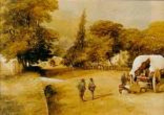
In time, a village was established opposite the Drostdy, across the Koornlands River, where artisans, including numerous wainwrights, and traders settled. To travellers and explorers, the service of these village folk were indispensable, as Swellendam was the last outpost of civilization on the eastern frontier.
By the middle of the 19th century, the eastern districts had been colonized by British settlers and Swellendam was a thriving metropolis. The town served as a useful refreshment station on the long, slow journey up the coast.
Drostdy Museum Complex
Swellendam is the third oldest town in South Africa (after Cape Town and Stellenbosch) and the Drostdy was built as the seat of the Landdrost (magistrate) in 1747.
Bontebok National Park
Home to more than 300 bontebok, and various other animals such as zebra, duiker and steenbok.
Wildebraam Liqueurs
Swellendam is the largest Youngberry growing area in the country and a farm just 3km out of town may be visited for liqueur tasting.
Nature Reserves
- Marloth Nature Reserve
- De Hoop Nature Reserve
Malgas
The hand-drawn pontoon over the Breede River at Malgas, 40km from
Swellendam, is believed to be the last remaining pont in South Africa. It operates everyday during daylight hours.
Suurbraak
This old mission village, near the foot of the Tradouw Pass, lies in a picturesque valley 25km beyond Swellendam and dates from 1812.
Tradouw Pass
A 315m high mountain pass of great scenic splendour and well worth a visit.
Outdoor Activities
All the usual sporting facilities are available and visitors are welcome to join the members at the various clubs. In addition, horse-riding, canoeing and other water sports can be arranged. There are also hiking and mountain bike trails in the area and bikes are available for hire.
Artists
Several well-known artists have settled in Swellendam and their studios may be visited.
Swellendam Publicity Association
Oefeningshuis, Voortrek Street, Swellendam
P.O. Box 369, Swellendam, South Africa, 6740
Tel & Fax: +27 (0)28 514 2770
Located in and around the Marloth Nature Reserve (which lies 2 km
north of Swellendam), this hiking trail is often said to be one of the
most beautiful in the Cape.
There are numerous shorter routes if
six days of hiking is too long for you and, as an inevitable result,
the trail has become very popular on weekends and public holidays.
Kruispad,
near Proteavallei Hut, and the Vensterbank route provide short cuts
over the mountain, thereby eliminating the western section. These
options provide impressive views but are recommended only to shorten
your hike.
On each day of the trail, stretches of shadeless
fynbos alternate with cool, indigenous forest in the kloofs. The
southern and northern Langeberg slopes offer far-reaching views of the
Swellendam Valley, including the Bontebok National Park and the
Robertson Valley respectively.
Other trail sections provide the
sensation of being in a peaceful and secluded wilderness. The trail
demands a medium to high level of fitness; the third day's walk is
particularly strenuous.
Middelrivierberg, Leeurivierberg, Misty
Point (1 710 m), Twelve o'clock, One o'clock and Ten o'clock peaks, as
well as others, are encircled by the trail and are popular with
mountaineers.
Misty Point is a particularly treacherous ascent because, as its name indicates, it often becomes rapidly shrouded in mist.
There
are numerous paths into some of the densely forested kloofs such as
Wolfkloof, Duiwelsbos, Koloniesbos and Wamakersbos. These paths also
make fascinating day excursions, especially in hot, sunny summer
weather.
Trail Distance:
Day 1: 15km 4-5 hours
Day 2: 10km 4 hours
Day 3: 10km 4 hours
Day 4: 13km 4-5 hours
Day 5: 21km 8-9 hours
Day 6: 10m 4 hours
Special Interests:
Small
animals, mountain fynbos, patches of afromontane forest and birds will
be on show as you wind your way through Swellendam section of the
Langeberg mountains.
Prohibitions and hazards:
This trail is
fairly demanding and should only be attempted by fit, competent and
well-equipped hikers. Fires are only permitted at demarcated sites at
Glen stream and Wolfkloof huts due to the high risk of veld fires and
the scarcity of trips. Be aware that trips should be well planned in
advance as hikers are not permitted to leave the trail at any stage due
to private property and the possibility of getting lost.
The trail should be avoided in rain, strong winds and mist, and by those afraid of heights.


