South of Springbok, Kamieskroon is set among the granite rock formations of the Kamiesberg range. The town's origins lie in the 1860's, 17km north of its present position. It took the Bowesville (later Bowesdorp), after the district surgeon, Dr Henry Bowe. As there was little room to expand in the narrow kloof the town occupied, the Namaqualand church council decided, in 1924, to rebuild it at Kamieskroon.

Kamies might derive from the Nama word 'kam', meaning two -referring to the twin peaks of the mountain. The 'kroon', a 330m peak crowned with a huge, cleft rock, is a kilometre from the village.

Kamieskroon is one of the most scenic towns in Namaqualand. Three interesting mountain peaks lend character to the town, namely Kardou (south-east of the town), Boesmankop (asleep on his back on the west side) and Sneeukop (north-east of the town), which at a height of 1591 m is the second highest point in Namaqualand.
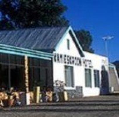
Activities

Hiking
A guide steeped in the spirit of Namaqualand offers hikes along uncharted trails.

Lt Dj Darter's Grave
The grave of a British officer killed during the Anglo-Boer War, Darter's grave - 15km south of the town - is the smallest piece of foreign land registered in South Africa, in an area that saw many skirmished during the war.

Kharkams
A settlement south od Kamieskroon where flowers carpet the veld in season.

Leliefontein
A nearby mission station where you can set your watch to the sundail given to its 19th-century founder, Reverend Barnabas Shaw.

Leliefontein Methodist Church and Parsonage
Both national monuments in Namaqualand's oldest village. Boer leader Manie Maritz reputedly killed Khoi-Khoi attackers with his bare hands, inside the church.

Namaqua National Park
West of Kamieskroon
Kamieskroon Kamieskroon Kamieskroon Kamieskroon
Kamieskroon Accommodation Map Open Kamieskroon Location in Mobile Maps

Accommodation Map

Map Place holder
Click to display the map