In 1858 Christoffel Jacobs gave his name to the town laid out on his farm Kalkfontein. The first residential stands were sold on 7 March 1859 and municipal status was granted in July 1860. The Riet River irrigation settlements start about 3 km west of the town and extend 15 km up to the confluence of the Riet and Modder rivers at Ritchie.
Jacobsdal lies on the R705, 154km west of Bloemfontein and only 15km east of the Northern Cape Provincial border.
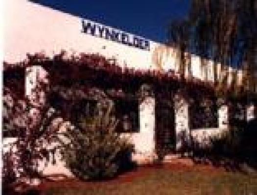
This small farming community lays claim to having the first wine cellar ever built outside of the Cape Province. Top quality wines are produced by Landzicht Wine cellar internationally known for its quality.
There are three processing plants, peanut butter factory, two wineries and abattoir (+/- 800 to 1000 sheep are being slaughtered daily).
+/- 160 000 tonnes of various crops are produced. Grapes +/- 3000 ton, potatoes +/- 22000 ton, lucern 38 000 ton and ground nuts +/- 3000 ton.
A town and irrigation scheme not to be missed by the visitor!
Activities
British Block House (Fort)
The blockhouse with it's unique architecture was build in 1900 on the road to Paardeberg. It was declared a national monument in 1983.
Burger Monument
In front of the Dutch Reformed Church - erected in memory of the deceased at the Battle of Roodelaagte 25.11.1899 under command of D.S. Lubbe.
Cairn - Heap of stones (Klipstapel)
It was erected by the Boers from Jacobsdal in November 1899 before departing for the battle of Roodelaagte (Graspan). Each boer engraved his name on a stone and these stones were used to build the monument. The monument can be reached by a walking trail from the Agricultural School.
Dutch Reformed Church
Consecrated in 1879 and enlarged in 1930, was used as a hospital during the Anglo Boer War - now a national monument. A Bullet hole in the front door is evidence of the many skirmishes which took place between Boer and Brit in the area.
Jacobsdal Cemetary (at the end of De Villiers St)
The oldest grave date from 1859. British War graves and monuments can be found dating from the Anglo Boer War (1899 - 1902). Some "Boers" that fought the Magersfontein battle were reburried at Magersfontein which included Commandant D.S. Lubbe's grave (1923).
Jacobs Farmhouse
It is the first dwelling that was build in the area where Jacobsdal is today. It was build by Mr C.J. Jacobs. The house is situated in Sarel Cilliers St next to First National Bank.
Landzicht Wine Cellar
Champion wines!!
Cellar tours and wine tasting on request, lapa and braai-facilities. Special Commemorative wines with Anglo Boer War Lables available.
Magersfontein Battlefield & Museum
20 km North-west of Jacobsdal.
Old Market Square
The market square was where the city hall is today and it was used as a British soldier's lager. A big battle took place on 25 October 1900. Boers fired at the British from behind a stone wall which still stands today.
Paardeberg (18 - 27 February 1900)
By means of a wide flanking movement to avoid the Boers at Magersfontein, Lord Roberts succeeded in relieving Kimberley on 15 February 1900. Due to his precarious position, Cronje was forced to fall back to Bloemfontein along the Modder River. He was denied crossing Vendusiedrif due to the British onslaught with the result that the Boers entrenched themselves on both sides of the river. 40000 British troops supported by 100 guns besieged the small Boer force of 4000 men, women and children. After 10 days of continious bombardment, the Boer force surrendered on 27 February 1900. Majuba was at last revenged.
"Tuishuis"
The old fashion dwelling, still with it's original wallpaper, was used during religious ceremonies. It is situated directly opposite the southern entrance of the Dutch Reformed Church.


