This area between Caledon and Orange Rivers, was once a haven for the nomadic San. With the arrival of the Basotho, and later the Voortrekkers, much squabbling over land ownership took place.
The area was a no-man's land, but did not deter Jan de Winnaar from forming the farm called Verliesfontein. The town is named after his wife, Johanna Zastron.
Activities
Anglo-Boer War Monument
In front of the town's Dutch Reformed Church.
Cable Car
Built in 1957 by Charles Moss, it was used as a way of entering the mountain kingdom of Lesotho.
De Winnaar Gravesite
Grave of the town's owner.
Eeufeeskloof Dam
Recreation on the water and in the sun on this well-equipped resort west of the town.
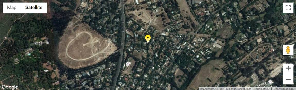
Eye of Zastron
A curious formation in the Aasvolberge.
Glen Rosa Farm
A cave on the farm features a 5m-high, perfectly-preserved polychrome San Frieze. It is one of the worlds most important pieces of historical artwork.
Hippopotamus Cave
Named for the predominance of hippo drawings in its San art, including evidence of live of the area's early inhabitants, including pots shards, cooking implements and other relics.
Mayaputi Nature Reserve
Angling bird & game watching, hiking, horseback riding, hunting, river rafting, 4x4 routes.
Vechtkop
The 2 072m peak and historic battlesite that dominates Zastron's eastern horizon.