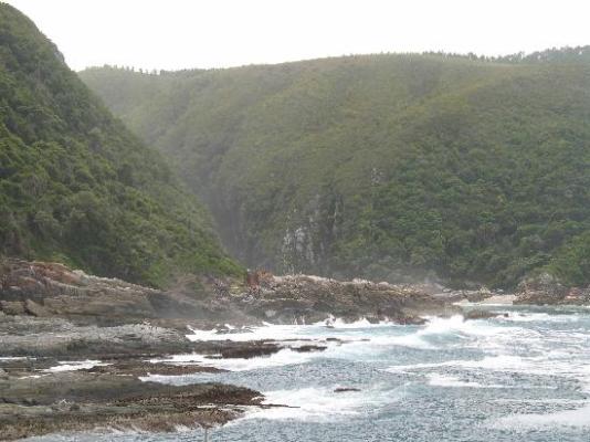

The Storms River camp (about 40 minutes from Plettenberg Bay) has been a firm favourite of visitors to the southern Cape for decades. The reason is the wild beauty of the coastline and the restless, often stormy sea.
There are various amenities, including a restaurant, shop, chalets, camp site and caravan park, information centre, the Agulhas lookout platform, trees marked with their national tree list numbers and underwater trails.
The Otter Trail starts here and the National Parks Board has laid out several short trails for day visitors. Set in the famous Garden Route, the trails lead through beautiful coastal and forest scenes, as well as various waterfalls, streams and rivers.
Trails
l. The Suspension Bridge and Lookout Trail is an easy stroll that leads along the western side of the river mouth, past the Strandloper Cave to the suspension bridge across the mouth.
On the other side of the bridge there is a short but very steep climb to a lookout point from which there are fine views of the mouth and the camp.
2. The Waterfall Trail is an undemanding hike which follows the first 2,65 km of the Otter Trail; hikers may not walk beyond the waterfall unless hiking the Otter Trail.
3. The Blue Duiker Trail starts just west of the information centre and leads through scrub forest tip to the Agulhas lookout from where whales and dolphins can often be spotted in winter.
After crossing a short section of fynbos, the trail takes hikers into the dry forest with some fine Outeniqua yellowwoods evident.
A short-cut, the Lourie Trail, branches to the left here.
The Blue Duiker Trail continues through the forest, crossing a stream below a delightful waterfall. Several more streams and a cavernous tree bole mark the route. After crossing the road to the camp, the path drops to the coast just west of the start of the Waterfall/Otter trails and returns past the camp site and chalets.
The birdlife in the forest west of the road is quite exceptional, making this trail a great favourite with bird-watchers.


