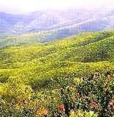
Set in the majestic mountains between Oudtshoorn and Mossel Bay, on the hinterland of the Garden Route, this trail is well known and liked, for this is an eco-destination, a paradise for nature and bird lovers.
This strenuous trail is 36 km long (3 days) (plus 3 km/30 minutes to walk back down the pass to the start); the second day's 10-km circuit is optional. Permits must be obtained from Cape Nature Conservation, Outeniqua Nature Reserve (Witfontein Forest), Oudtshoorn Road, George.
On the first day the route of 14 km/8 hours takes the hiker from the southern side of the Robinson Pass westwards to the overnight hut. The second day's circular route of 10 km is optional. The last day's walk leads along part of the historic Attaquaskloof Pass before swinging away from the pass on the southern slopes of the Skurweberg to the top of the Robinson Pass.
Attaquaskloof was a route once used by elephant to cross the Outeniquas from the coastal plains to the Little Karoo. It was well known to the Khoi-Khoi herdsmen who also used it, in fact, it was the Khoi-Khoi who guided the first crossing of the Outeniquas by the early Dutch settlers, an exploratory expedition led by Ensign Isaac Schrijver in 1689.
The magnificent fynbos along this clearly marked trail harbours many beautiful and unusual plants such as the local variant of the Riversdale bluebell and a black orchid.
In the future hikers may be able to walk this trail in conjunction with the Doringrivier Wilderness Trail with which it will link up.
At the end of the trail hikers have to walk approximately 3 km (30 minutes) over the Robinson Pass back to their cars.
Koumashoek circuit
This is a 14 km / 6 hour route with self-issue permits and a rough map. There are no facilities, but magnificent mountain scenery. The trail is very strenuous and must not be undertaken by the unfit - take your own water and beware of sudden mist.
This spectacular circular walk uses a recently cut path to link the first part of the outward leg and last part of the return leg of the new Attaquaskloof Hiking Trail.
To keep on the correct path follow the klipspringer-motif trail markers. The Kouma River, which you cross early on in the walk, is the last source of water before a long, stiff climb; fill your water bottles here. If you have left a car at the top of the pass where the trail meets the road (3 km from the starting point), you can drive back; otherwise, walk back down the pass.
